HeatSafe Nagpur
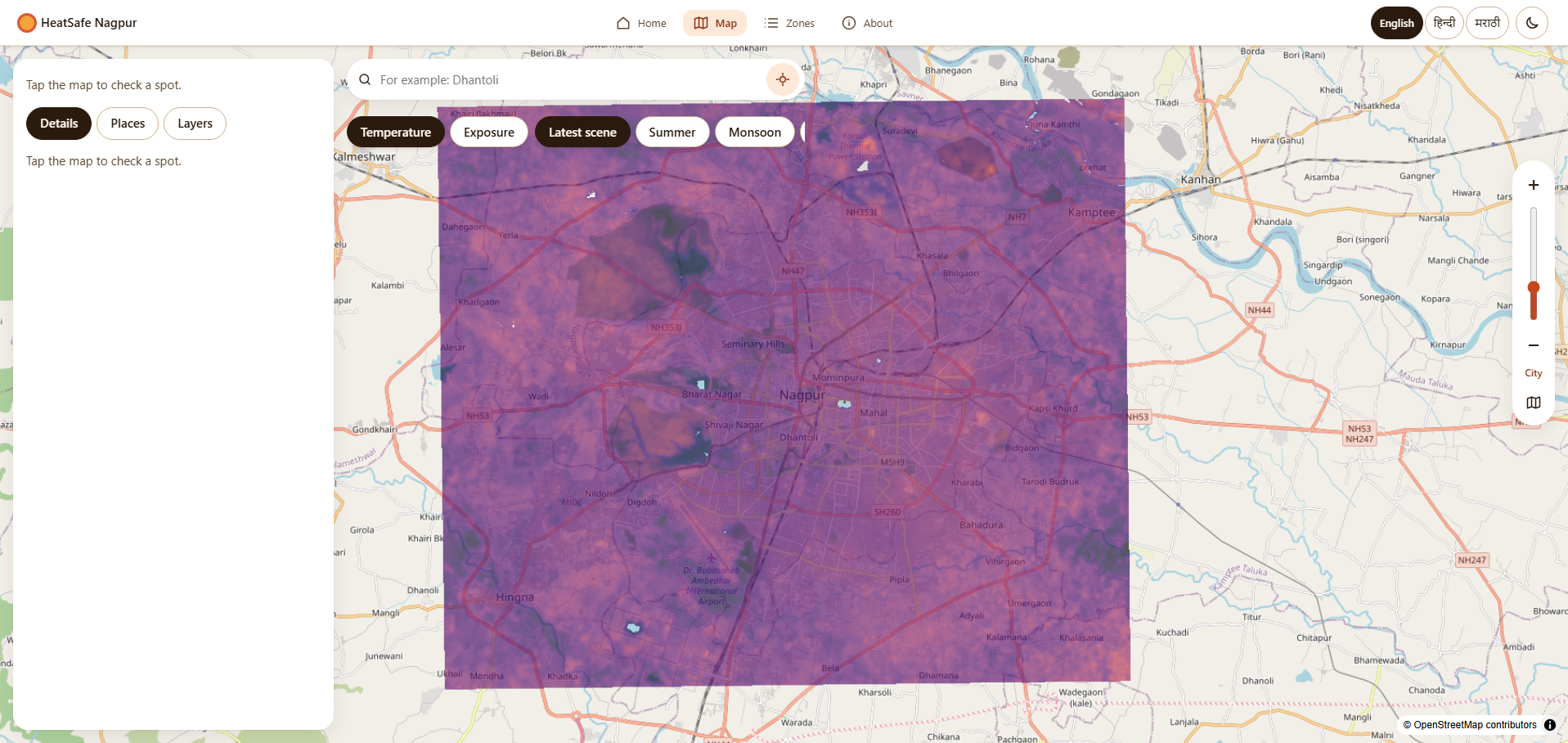
Satellite-based surface-heat map of Nagpur: 30 m temperature estimates from Landsat 8/9 with a 90% range, locality and zone rankings, and the nearest cooling places, in English, Hindi and Marathi.
Satellite-Derived Surface Temperature: Landsat 8/9 imagery turned into 30 m surface-temperature estimates, each with a 90% range; typical error is 1.4 °C against 2.4 °C for the best simple method
Actionable Local Rankings: Hottest and coolest localities and zones, plus the nearest cooling places, so a resident can see how hot their area is and where to cool down
Built for Nagpur's Residents: Phone-first interface in English, Hindi and Marathi, deployed on free tiers (Vercel and Render) at zero running cost
- FastAPI
- Python
- React
- Landsat 8/9
- Machine Learning
- Vercel
- Render
More Projects by Aayush Dubey
AutoFiller AI
Secure Windows desktop automation tool that maps and fills repetitive web forms from extracted documents while enforcing a strict zero-value privacy contract and operator takeover.
AudioPipeline
Hindi and English text-to-speech and voice-cloning studio built on a 6 GB laptop GPU, with a showcase site of before/after audio samples and measured latency and VRAM results.
PrepAI
Voice-first technical interview platform featuring adaptive multi-turn probing, real-time MediaPipe face and orientation tracking, and instant diagnostic evaluation reports.